Berkeley’s neighborhoods differ most in elevation, street pattern, transit access, and relationship to commercial corridors. The names on a map help, but a few blocks can change the slope of your walk, the housing around you, and which errands feel easy without a car.
Neighborhood boundaries are also informal and sometimes overlapping. Instead of searching for one universally “best” part of Berkeley, it is more useful to understand the city’s major patterns and find the specific rhythms that work best for you and your family.
What changes in Berkeley’s flatter neighborhoods?
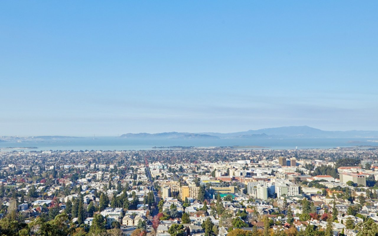
Much of West, Central, and South Berkeley follows a relatively-level street grid. That makes walking and biking more straightforward. Berkeley’s bicycle boulevards extend across many of these neighborhoods, and the city’s three BART stations — Ashby, Downtown Berkeley and North Berkeley — act as transit anchors.
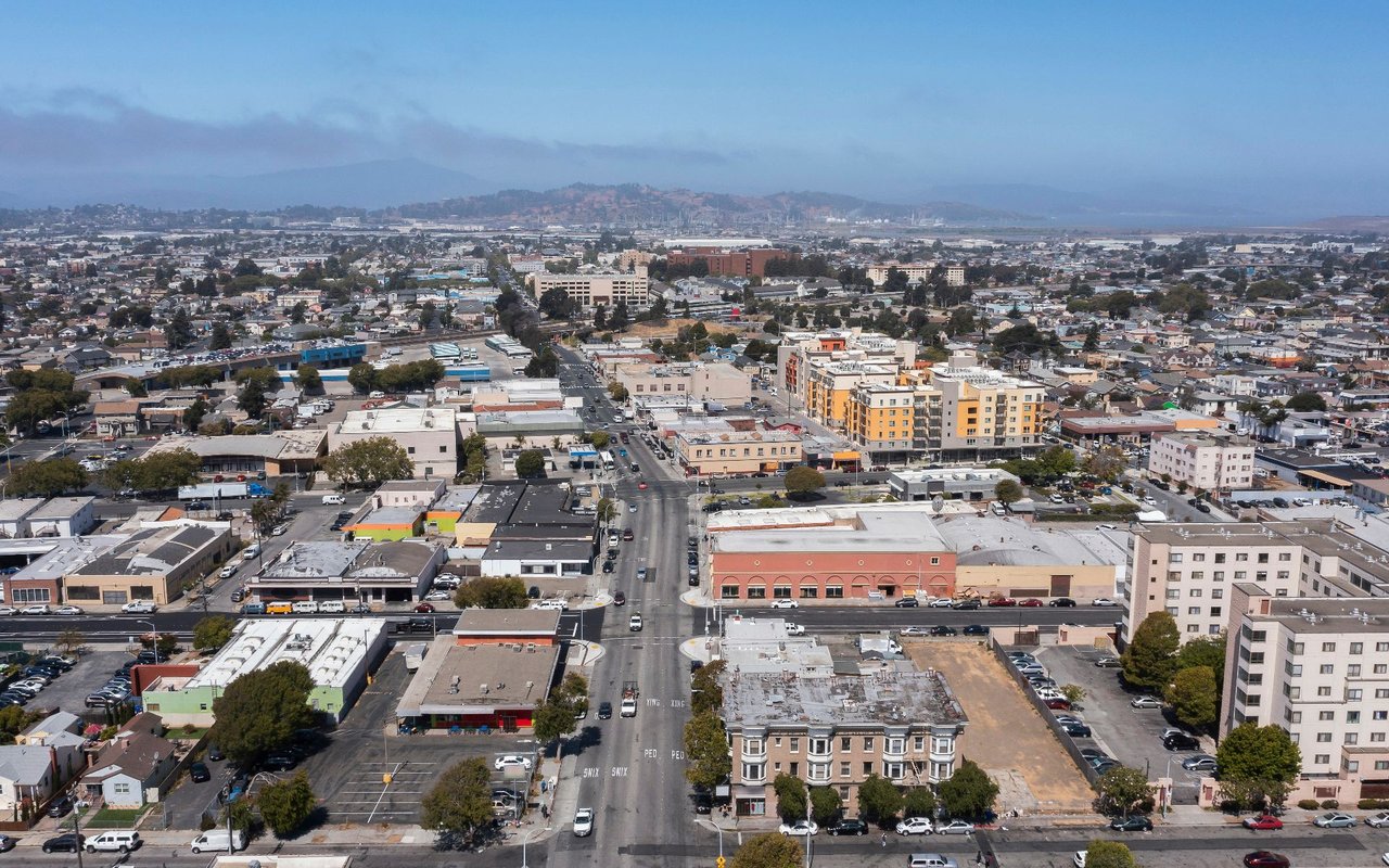
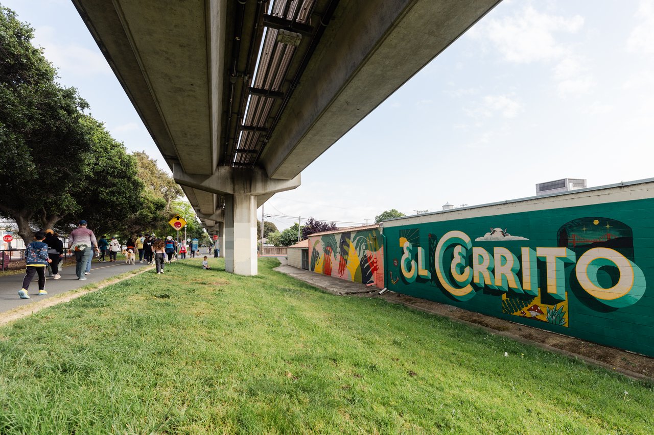
The western side is not one uniform residential district, sporting a mix of homes, industry, offices, arts and crafts, retail, and institutions. Useful destinations may be nearby, but conditions can change noticeably from one block to the next.
How do Berkeley’s commercial corridors shape daily life?
Berkeley does not concentrate everyday activity in a single downtown, but rather areas along North Shattuck, Solano, College, Telegraph, Adeline, San Pablo, and University avenues, in addition to Downtown and West Berkeley.
Two homes in the same broadly-named neighborhood may therefore function differently. Living a few blocks from North Shattuck or College Avenue, for example, can put groceries, coffee, and dinner within a regular walk. Farther from the corridor, the setting may become more residential, while parking, traffic and street activity also change.
The useful question is not simply, “Which neighborhood is this?” but rather, “How does this area shape everyday life?”
What changes around Downtown and the UC Berkeley campus?
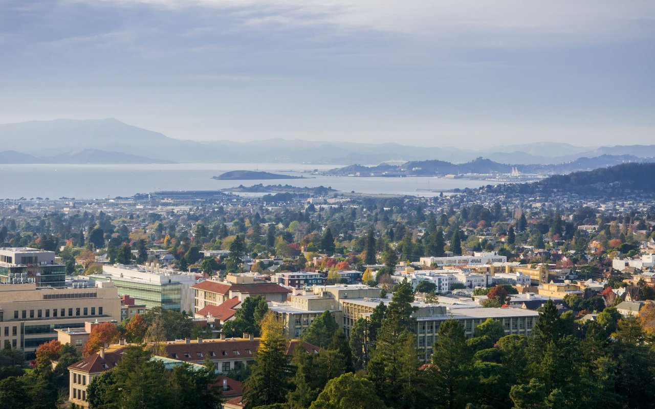
Downtown and the areas bordering campus have a denser mix of apartments, institutions, restaurants, cultural venues, and transit. Downtown Berkeley BART sits close to the campus and the city’s primary civic and entertainment district.
That concentration can simplify regional transportation and put more destinations nearby. It also brings the rhythms of a “college town,” including student movement, events, and activity at different times of day.
What should buyers understand about the Berkeley Hills?
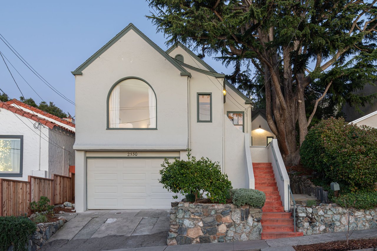
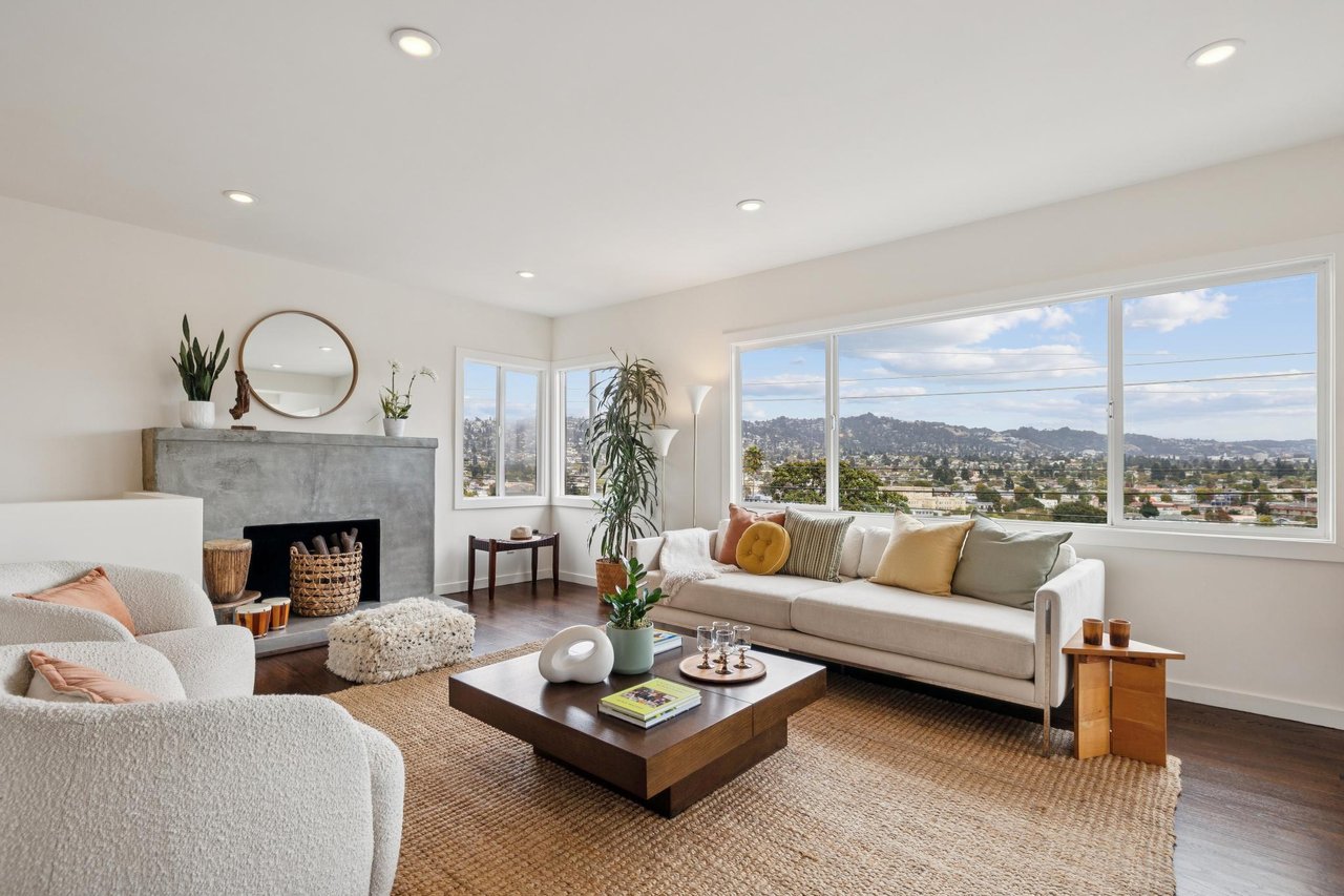
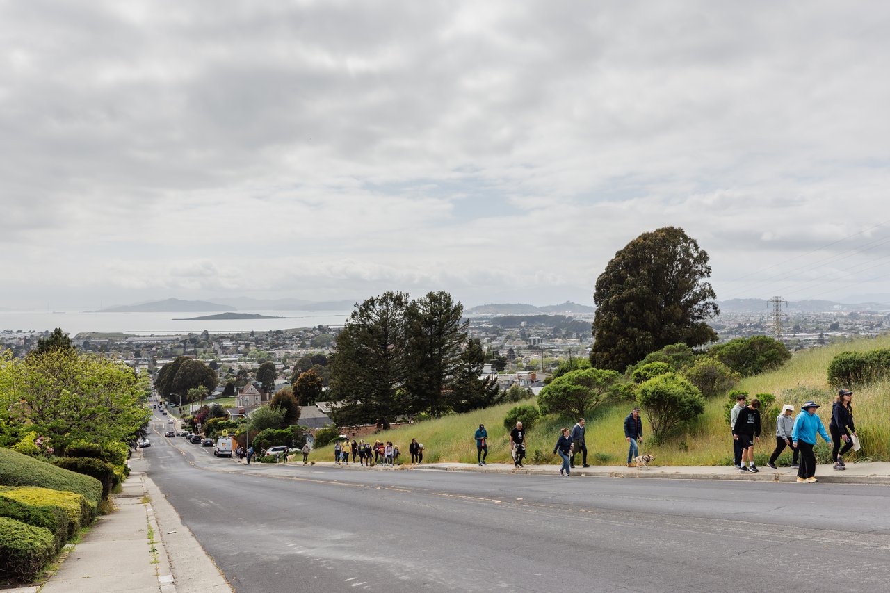
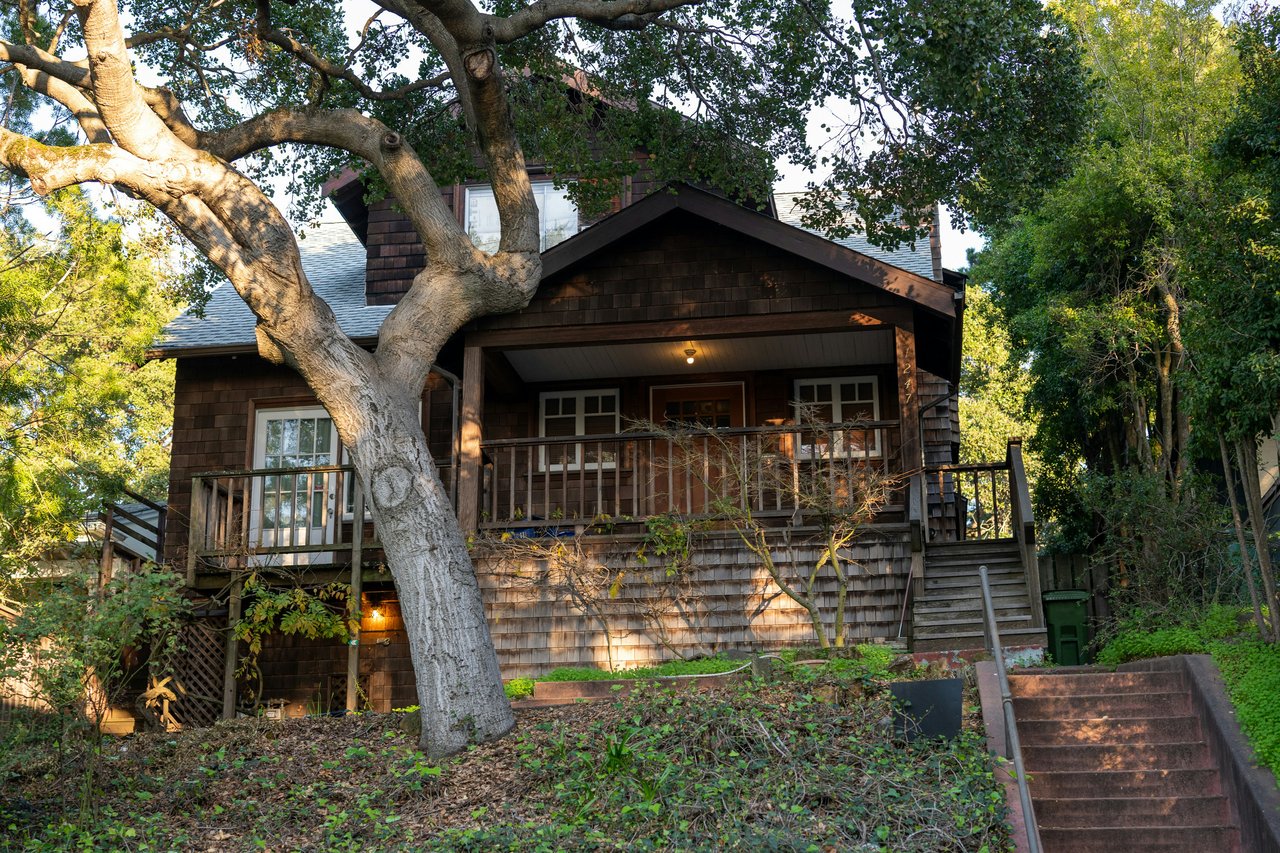
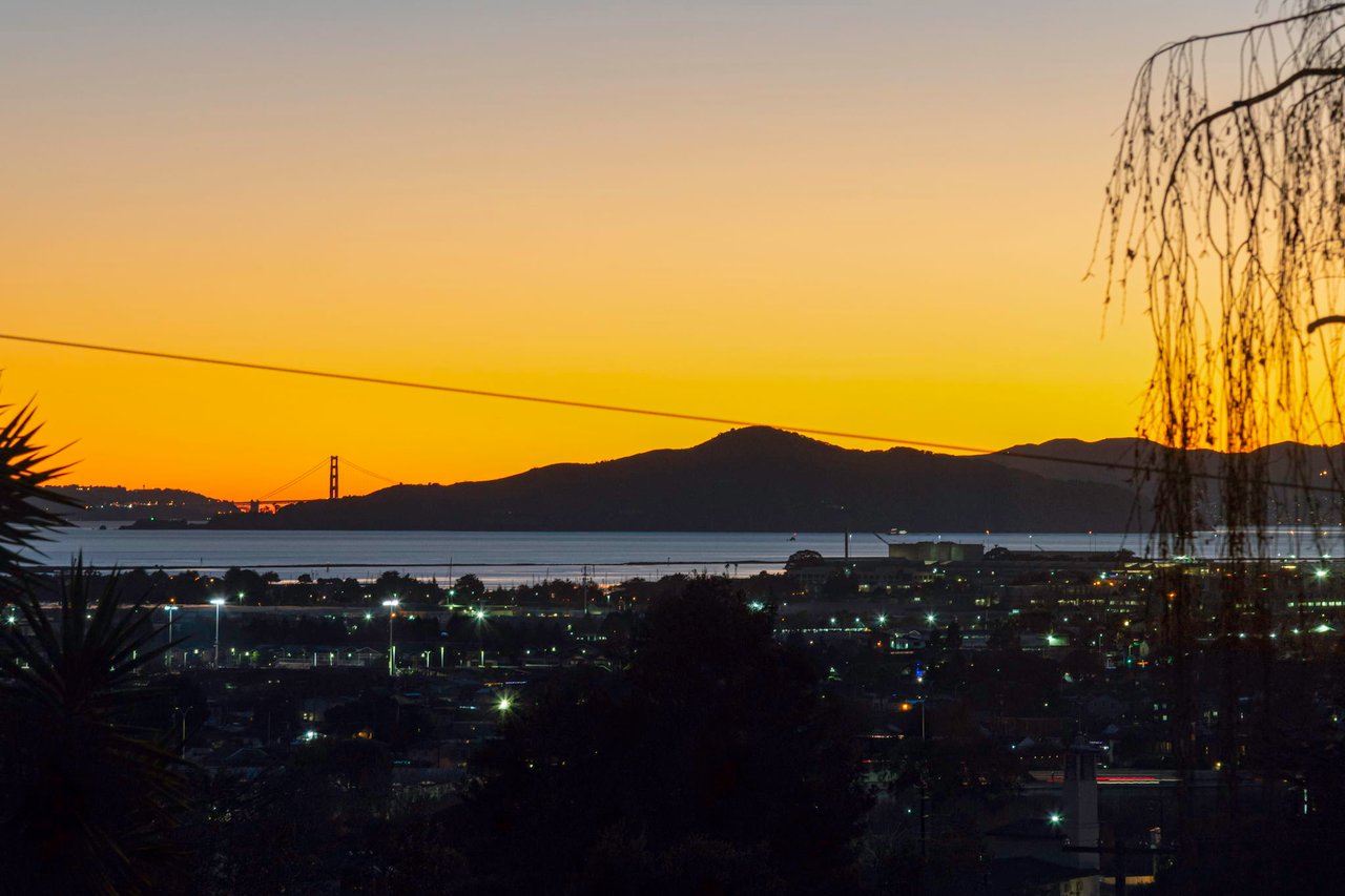
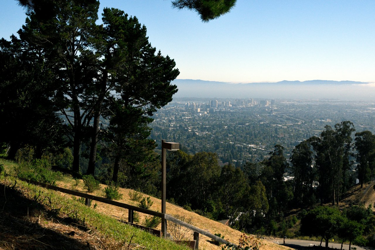
In the hills, elevation becomes part of the property. Winding streets, steeper approaches, views, stairs, and sloped lots can all affect how a home works day to day. Two houses that look close on a map may require very different walks or drives.
Wildfire and evacuation planning are also essential address-level considerations. The City says Berkeley’s hillside neighborhoods face its highest wildfire and evacuation risk, with Upper Berkeley Hills and Panoramic Hill carrying the greatest risk. Buyers should check current maps, understand available routes, and investigate property-specific insurance and maintenance considerations.
How should you compare Berkeley neighborhoods?
Start with the home, then test its everyday geography. Walk to the nearest commercial corridor. Travel the actual route to BART or work. Notice elevation, crossings, parking, and noise at more than one time of day.
Berkeley changes quickly from block to block. That is part of its unique charm; the key is finding the version of the city that works best for you.
For a broader look at housing, location, and everyday life, visit our Berkeley community guide.